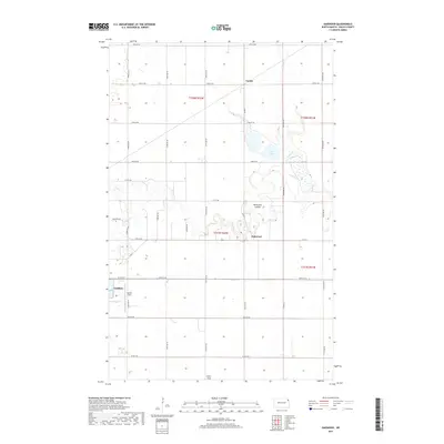
2017 Map of Oakwood
USGS Topo · Published 2017About this map
The Park River meanders eastward through the Red River Valley, carving the distinct Horseshoe Coulee before reaching the small community of Oakwood. This Walsh County landscape is defined by its rectilinear grid of section roads and the presence of unusual alkaline water bodies such as Salt Lake, which is fed by Willow Cr in the northeast. The eastern edge of Grafton appears in the southwest corner, showcasing its proximity to local landing strips like Hutson Field. Further north, the settlement of Cashel sits along the road network, serving as a focal point for the surrounding agricultural tracts. The map illustrates a highly organized prairie landscape where natural watercourses like the Park River provide the only break in the uniform fields. Aviation history is quietly noted through family-named landmarks such as Kelly's Field, indicating the importance of local flight in this expansive corner of North Dakota.
Find a feature on this map
34 named features on this map. Tap any name to fly to it.
Don’t see what you’re looking for? This feature index may not catch every label — zoom into the map to look around manually.
Map Details
Editions of this 2017 Oakwood Map
This is the sole edition of this map. No revisions or reprints were ever made.
Other maps of this area

1918 · Acton
USGS Topo · 1:62,500

1939 · Drayton
USGS Topo · 1:62,500

1939 · Glasston
USGS Topo · 1:62,500

1941 · Drayton
USGS Topo · 1:62,500

1941 · Glasston
USGS Topo · 1:62,500

1943 · Grafton
USGS Topo · 1:62,500

1952 · Thief River Falls
USGS Topo · 1:250,000

1956 · Thief River Falls
USGS Topo · 1:250,000

1957 · Thief River Falls
USGS Topo · 1:250,000

1960 · Grafton
USGS Topo · 1:24,000