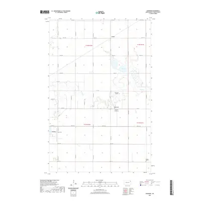
2020 Map of Oakwood
USGS Topo · Published 2020About this map
Park River meanders across this Walsh County landscape, defining the agricultural character of the region near the settlements of Oakwood and Cashel. The map highlights the spiritual and communal centers of these rural townships, specifically the Sacred Heart Church of Oakwood and the adjacent Oakwood Cem. Further south, the Ebenezer Evangelical Cem stands as another important genealogical marker for the area. The eastern edge of Grafton is visible, including the aviation site at Hutson Field. The presence of Salt Lake and Horseshoe Coulee suggests a complex local hydrology that has long influenced land use in this part of North Dakota. Systematic section lines and an extensive network of county roads, such as Co RD 11, illustrate the organized development of the Red River Valley's rich farmland.
Find a feature on this map
28 named features on this map. Tap any name to fly to it.
Don’t see what you’re looking for? This feature index may not catch every label — zoom into the map to look around manually.
Map Details
Editions of this 2020 Oakwood Map
This is the sole edition of this map. No revisions or reprints were ever made.
Other maps of this area

1918 · Acton
USGS Topo · 1:62,500

1939 · Drayton
USGS Topo · 1:62,500

1939 · Glasston
USGS Topo · 1:62,500

1941 · Drayton
USGS Topo · 1:62,500

1941 · Glasston
USGS Topo · 1:62,500

1943 · Grafton
USGS Topo · 1:62,500

1952 · Thief River Falls
USGS Topo · 1:250,000

1956 · Thief River Falls
USGS Topo · 1:250,000

1957 · Thief River Falls
USGS Topo · 1:250,000

1960 · Grafton
USGS Topo · 1:24,000