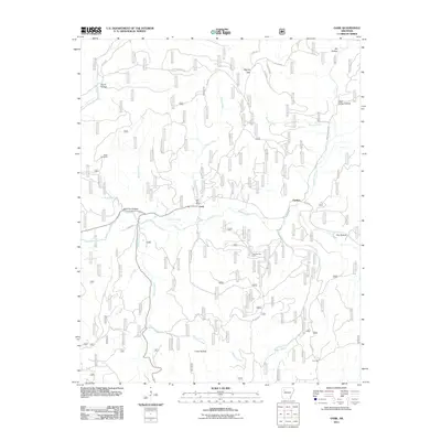
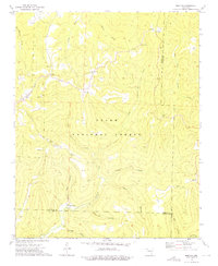
2011 Map of Oark
USGS Topo · Published 2011About this map
The Mulberry River carves through this northern portion of the Arkansas Ozarks, where the small community of Oark serves as a local hub. The presence of the Oark Post Office and the Miller Cemetery near Bowen Creek provides critical touchpoints for genealogists tracing families in this corner of Johnson County. The landscape is defined by its deep drainages and ridges, featuring several named hollows such as Wolf Pen Hollow and Acord Hollow, as well as the prominent Hignite Gap. Industrial activity is noted in the southern part of the quadrangle with the Low Gap Gas Field, indicating the extraction economy that persists alongside the forest. The settlement at Catalpa and the high point at Low Gap mark the eastern reaches of the map, while numerous forest service and county roads, such as Forest Service 1453 and Co Rd 35, show the network of access through the timbered terrain.
Find a feature on this map
38 named features on this map. Tap any name to fly to it.
Don’t see what you’re looking for? This feature index may not catch every label — zoom into the map to look around manually.
Map Details
Editions of this 2011 Oark Map
This is the sole edition of this map. No revisions or reprints were ever made.
Other maps of this area

1889 · Ozone
USGS Topo · 1:62,500

1906 · Batson
USGS Topo · 1:62,500

1934 · Ozone
USGS Topo · 1:62,500

1936 · Ozone
USGS Topo · 1:62,500

1956 · Russellville
USGS Topo · 1:250,000
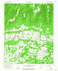
1963 · Harmony
USGS Topo · 1:24,000
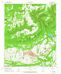
1963 · Hunt
USGS Topo · 1:24,000

1964 · Russellville
USGS Topo · 1:250,000
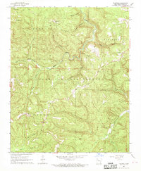
1967 · Fallsville
USGS Topo · 1:24,000
1973 · Boston
USGS Topo · 1:24,000