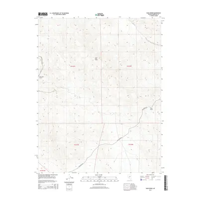
2014 Map of Oasis Divide
USGS Topo · Published 2014About this map
The Silver Peak Range dominates this corner of Esmeralda County, defining a landscape of high-elevation desert terrain and dramatic relief. The map center is marked by the Oasis Divide, a significant topographical point that serves as a natural transition between the surrounding basins. This 2014 survey documents the limited but vital transit network of the region, including the Oasis Poleline Rd, which traces a path through the southern half of the quadrangle. To the northwest, White Wolf Canyon and its corresponding White Wolf Canyon Rd illustrate the deep drainage patterns characteristic of the Nevada interior. The area's land management is delineated by Public Land Survey System boundaries such as t4s r37e and t5s r38e, which provide the essential framework for modern land tracking and historical research in this high-desert environment.
Find a feature on this map
11 named features on this map. Tap any name to fly to it.
Don’t see what you’re looking for? This feature index may not catch every label — zoom into the map to look around manually.
Map Details
Editions of this 2014 Oasis Divide Map
This is the sole edition of this map. No revisions or reprints were ever made.
Other maps of this area
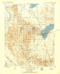
1898 · Silver Peak
USGS Topo · 1:125,000
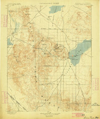
1900 · Silver Peak
USGS Topo · 1:125,000
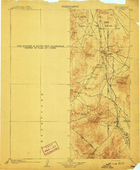
1908 · Lida
USGS Topo · 1:250,000
1913 · Lida
USGS Topo · 1:250,000

1954 · Goldfield
USGS Topo · 1:250,000
1955 · Goldfield
USGS Topo · 1:250,000
1957 · Magruder Mtn
USGS Topo · 1:62,500
1958 · Goldfield
USGS Topo · 1:250,000
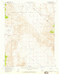
1958 · Soldier Pass
USGS Topo · 1:62,500
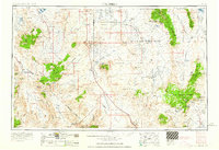
1962 · Goldfield
USGS Topo · 1:250,000