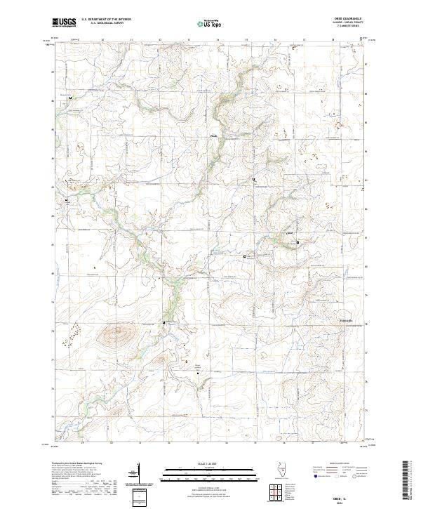
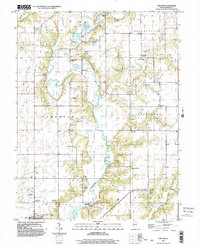
2024 Map of Obed
USGS Topo · Published 2024About this map
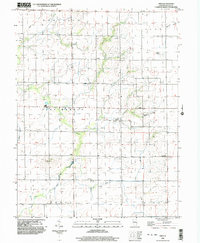
Flat Branch and its various tributaries, including Pilot Branch and Sorghum Branch, define the rural landscape of this Shelby County township. The map documents a classic Midwestern agricultural grid, punctuated by small community nodes such as Obed, Pleak, and Yantisville. These settlements are closely tied to a network of local roads like Co HWY 42 and Co RD 19.
Find a feature on this map
45 named features on this map. Tap any name to fly to it.
Don’t see what you’re looking for? This feature index may not catch every label — zoom into the map to look around manually.
Map Details
Editions of this 2024 Obed Map
This is the sole edition of this map. No revisions or reprints were ever made.
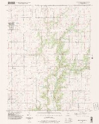
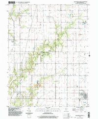
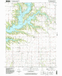
Historical Maps of Yantisville Through Time
16 maps found
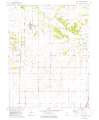
1980 Middlesworth
Shelby County, IL
1981 Fancher
Shelby County, IL
1981 Middlesworth
Shelby County, IL
1981 Stewardson East
Shelby County, IL
1981 Stewardson West
Shelby County, IL
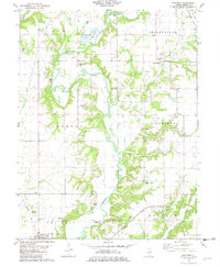
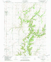
1983 Obed
Shelby County, IL
1998 Fancher
Shelby County, IL
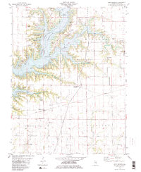
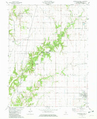
1998 Obed
Shelby County, IL
1998 Stewardson East
Shelby County, IL
1998 Stewardson West
Shelby County, IL
1999 Middlesworth
Shelby County, IL
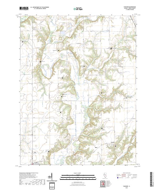
2024 Fancher
Shelby County, IL
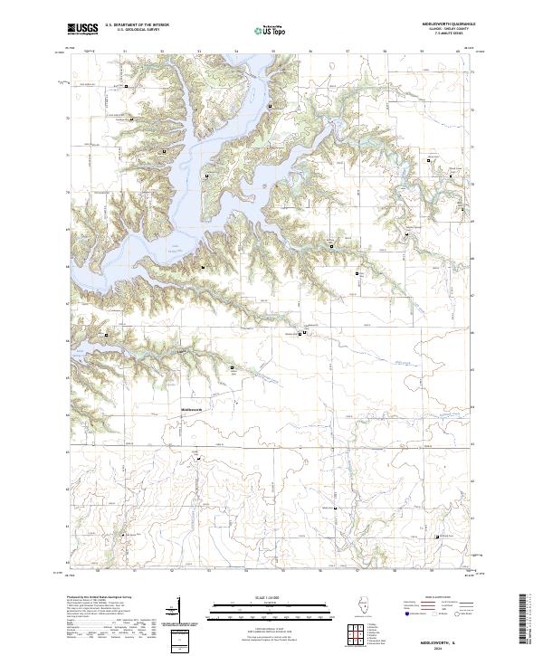
2024 Middlesworth
Shelby County, IL
2024 Obed
Shelby County, IL
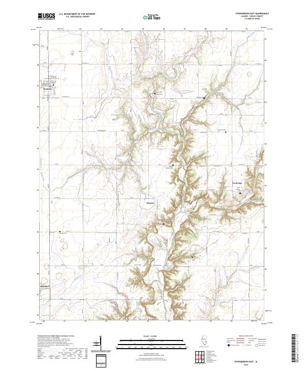
2024 Stewardson East
Shelby County, IL
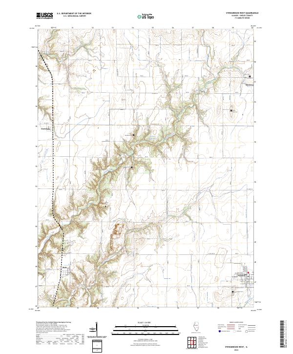
2024 Stewardson West
Shelby County, IL