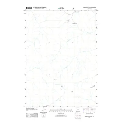
2012 Map of Observation Peak
USGS Topo · Published 2012About this map
Observation Peak and the high ridges of the Rocky Mountains define this section of Teton County, where complex drainage systems feed into the regional river network. The landscape is characterized by prominent summits like Wolf Mountain and Indian Peak, separated by high-altitude crossings such as North Indian Creek Pass and Red Pass. This 2012 survey illustrates a remote wilderness environment dominated by seasonal watercourses, including the various branches of S Fork Fall Cr and N Fork Indian Cr.
Find a feature on this map
17 named features on this map. Tap any name to fly to it.
Don’t see what you’re looking for? This feature index may not catch every label — zoom into the map to look around manually.
Map Details
Editions of this 2012 Observation Peak Map
This is the sole edition of this map. No revisions or reprints were ever made.
Other maps of this area

1931 · Jackson
USGS Topo · 1:125,000

1932 · Irwin
USGS Topo · 1:96,000

1935 · Irwin
USGS Topo · 1:125,000

1935 · Jackson
USGS Topo · 1:125,000

1955 · Driggs
USGS Topo · 1:250,000

1958 · Driggs
USGS Topo · 1:250,000

1962 · Driggs
USGS Topo · 1:250,000

1963 · Munger Mountain
USGS Topo · 1:24,000

1963 · Jackson
USGS Topo · 1:24,000

1963 · Teton Pass
USGS Topo · 1:24,000