
1963 Map of Teton Pass
USGS Topo · Published 1966About this map
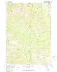
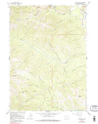
Teton Pass serves as the focal point for this mid-century topographic study, marking the high-altitude crossing between the Targhee National Forest and Teton National Forest. The settlement of Wilson is situated at the edge of the mountains, providing a waypoint for travelers entering the high country. The landscape is defined by steep drainages including Black Canyon and Mosquito Creek, while historic routes like the Mail Trail and Teton Pass Trail trace the movements of early settlers and mail carriers through the range.
Find a feature on this map
36 named features on this map. Tap any name to fly to it.
Don’t see what you’re looking for? This feature index may not catch every label — zoom into the map to look around manually.
Map Details
Editions of this 1963 Teton Pass Map
3 editions found
Other maps of this area

1899 · Grand Teton
USGS Topo · 1:125,000

1901 · Grand Teton
USGS Topo · 1:125,000

1931 · Jackson
USGS Topo · 1:125,000

1932 · Irwin
USGS Topo · 1:96,000

1935 · Irwin
USGS Topo · 1:125,000

1935 · Jackson
USGS Topo · 1:125,000

1943 · Driggs
USGS Topo · 1:62,500

1946 · Driggs
USGS Topo · 1:62,500

1955 · Driggs
USGS Topo · 1:250,000

1958 · Driggs
USGS Topo · 1:250,000