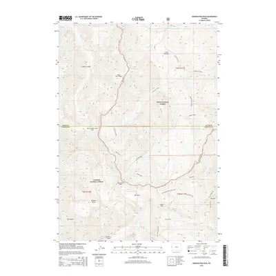
2015 Map of Observation Peak
USGS Topo · Published 2015About this map
Observation Peak stands as the central landmark within the Snake River Range, marking a high point where the high-altitude topography of the Teton National Forest meets the Targhee National Forest. The landscape is defined by a complex network of drainage basins and ridges, with Lake Basin providing a rare level catchment area beneath the surrounding peaks. Access across this steep terrain is primarily via historical routes such as the Divide Trail and the Dog Creek Headwaters Trail, which navigate the sharp elevations between North Indian Creek Pass and Red Pass. The hydrology of the area is intricate, with headwaters for S Fork Fall Creek and Wolf Cr carving deep features like Big Basin Canyon and Deadhorse Canyon. This survey captures the wilderness boundary between Teton and Lincoln counties, emphasizing the primitive trail systems that remain the primary means of traversal.
Find a feature on this map
39 named features on this map. Tap any name to fly to it.
Don’t see what you’re looking for? This feature index may not catch every label — zoom into the map to look around manually.
Map Details
Editions of this 2015 Observation Peak Map
This is the sole edition of this map. No revisions or reprints were ever made.
Other maps of this area
1931 · Jackson
USGS Topo · 1:125,000
1932 · Irwin
USGS Topo · 1:96,000
1935 · Irwin
USGS Topo · 1:125,000
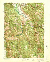
1935 · Jackson
USGS Topo · 1:125,000
1955 · Driggs
USGS Topo · 1:250,000
1958 · Driggs
USGS Topo · 1:250,000
1962 · Driggs
USGS Topo · 1:250,000
1963 · Munger Mountain
USGS Topo · 1:24,000
1963 · Jackson
USGS Topo · 1:24,000
1963 · Teton Pass
USGS Topo · 1:24,000