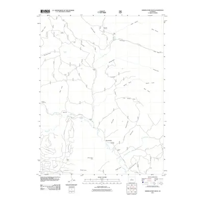
2011 Map of Observatory Rock
USGS Topo · Published 2011About this map
Bordenville serves as a focal point in this high-country landscape, where the Bordenville Cemetery and the meandering Tarryall Creek define the local geography. The area is characterized by a series of long-established ranching outposts, including Ingram Ranch, Miller Ranch, and Coleman Ranch, which are interspersed among a complex network of drainages such as Graveyard Gulch, Schoolhouse Gulch, and Bear Gulch. The prominent landform Observatory Rock rises above the valley floor, providing a distinctive landmark for the surrounding territory.
Find a feature on this map
58 named features on this map. Tap any name to fly to it.
Don’t see what you’re looking for? This feature index may not catch every label — zoom into the map to look around manually.
Map Details
Editions of this 2011 Observatory Rock Map
This is the sole edition of this map. No revisions or reprints were ever made.
Other maps of this area

1937 · Como
USGS Topo · 1:62,500

1945 · Shawnee
USGS Topo · 1:24,000

1945 · Mount Logan
USGS Topo · 1:24,000

1948 · Mount Logan
USGS Topo · 1:24,000

1948 · Shawnee
USGS Topo · 1:24,000

1953 · Denver
USGS Topo · 1:250,000

1956 · Eagle Rock
USGS Topo · 1:24,000

1956 · Elkhorn
USGS Topo · 1:24,000

1956 · Farnum Peak
USGS Topo · 1:24,000

1957 · Denver
USGS Topo · 1:250,000