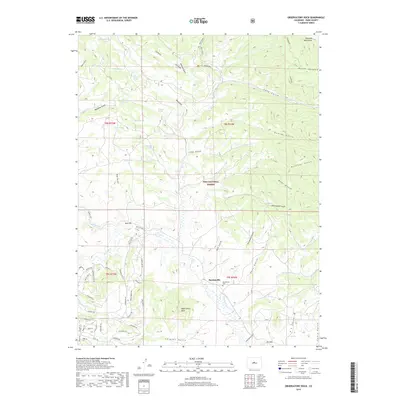
2019 Map of Observatory Rock
USGS Topo · Published 2019About this map
Bordenville lies at the intersection of high-country history and natural preservation, located along the winding course of Tarryall Cr. This portion of Pike National Forest is defined by a dense network of water sources and steep drainage features, from the heights of the Kenosha Mountains in the northeast to the namesake Observatory Rock near the southern boundary. The landscape is etched with numerous gulches that reflect early habitation and geography, including the curiously named Graveyard Gulch, Schoolhouse Gulch, and Ratcliff Gulch.
Find a feature on this map
73 named features on this map. Tap any name to fly to it.
Don’t see what you’re looking for? This feature index may not catch every label — zoom into the map to look around manually.
Map Details
Editions of this 2019 Observatory Rock Map
This is the sole edition of this map. No revisions or reprints were ever made.
Other maps of this area

1937 · Como
USGS Topo · 1:62,500

1945 · Shawnee
USGS Topo · 1:24,000

1945 · Mount Logan
USGS Topo · 1:24,000

1948 · Mount Logan
USGS Topo · 1:24,000

1948 · Shawnee
USGS Topo · 1:24,000

1953 · Denver
USGS Topo · 1:250,000

1956 · Eagle Rock
USGS Topo · 1:24,000

1956 · Elkhorn
USGS Topo · 1:24,000

1956 · Farnum Peak
USGS Topo · 1:24,000

1957 · Denver
USGS Topo · 1:250,000