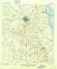
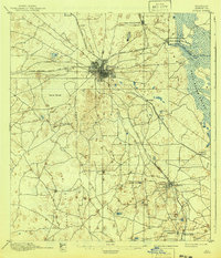
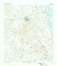
1895 Map of Ocala
USGS Topo · Published 1949About this map
Ocala serves as the central hub of a complex nineteenth-century railroad network, where the Florida Southern R. R., the Florida Central and Peninsular R. R., and the Silver Springs Ocala and Gulf R. R. all converge. This intricate web of tracks facilitated the movement of goods and people between the growing town and outlying settlements like Belleview, Summerfield, and Kendrick. The town's grid is already well-defined, contrasting with the surrounding landscape of sinks, ponds, and dense vegetation.
Find a feature on this map
27 named features on this map. Tap any name to fly to it.
Don’t see what you’re looking for? This feature index may not catch every label — zoom into the map to look around manually.
Map Details
Editions of this 1895 Ocala Map
7 editions found
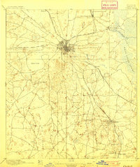
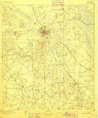
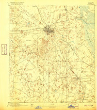
Other maps of this area

1892 · Dunnellon
USGS Topo · 1:62,500

1893 · Panasoffkee
USGS Topo · 1:62,500

1893 · Citra
USGS Topo · 1:62,500

1894 · Dunnellon
USGS Topo · 1:62,500

1895 · Williston
USGS Topo · 1:62,500

1895 · Tsala Apopka
USGS Topo · 1:62,500

1895 · Citra
USGS Topo · 1:62,500

1895 · Panasoffkee
USGS Topo · 1:62,500

1895 · Ocala
USGS Topo · 1:62,500

1954 · Tsala Apopka NE
USGS Topo · 1:24,000