
1966 Map of Ocate
USGS Topo · Published 1968About this map
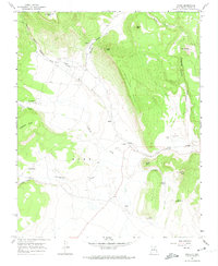
The high plateau and canyon country of Mora County are defined here by the massive Gallinas Mesa and the winding course of Ocate Creek. In the mid-1960s, the settlement of Ocate serves as a local hub, situated near the Ocate Grant Boundary and flanked by landmarks such as Guadalupe Ch and the Strong Cem. The landscape reflects a legacy of family ranching and small-scale mountain farming, with smaller settlements like Los LeFebres and Los Huerros positioned along the canyon floors.
Find a feature on this map
39 named features on this map. Tap any name to fly to it.
Don’t see what you’re looking for? This feature index may not catch every label — zoom into the map to look around manually.
Map Details
Editions of this 1966 Ocate Map
2 editions found
Other maps of this area

1954 · Raton
USGS Topo · 1:250,000

1956 · Tooth Of Time
USGS Topo · 1:62,500

1956 · Miami
USGS Topo · 1:62,500

1958 · Raton
USGS Topo · 1:250,000

1966 · Guadalupita
USGS Topo · 1:24,000
1966 · Lucero
USGS Topo · 1:24,000
1966 · Ojo Feliz
USGS Topo · 1:24,000

1966 · Mora Ranch
USGS Topo · 1:24,000
1966 · Cerro Negro
USGS Topo · 1:24,000

1981 · Springer
USGS Topo · 1:100,000