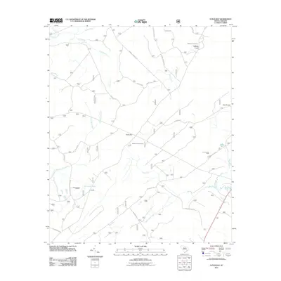
2011 Map of Ocean Bay
USGS Topo · Published 2011About this map
Halfway Creek and the surrounding drainage basins define this portion of the South Carolina lowcountry near Awendaw. The landscape is a network of slow-moving water bodies, including Turkey Creek, Bell Creek, and Steed Creek, interspersed with named woods and swamps. This 2011 survey reveals a territory where local history is anchored by sites like the Halfway Creek Cemetery and Apple Old Field Cemetery. Human engineering is visible in the Withey Wood Canal and a specialized road network with names like Ion Swamp Rd, Farewell Corner Road A, and Dog Swamp Road A. These roads connect small settlements such as Fort Corner and Ocean Bay to more remote recreational points, including the Halfway Creek Trail Camp and the Twin Pond Rifle Range.
Find a feature on this map
37 named features on this map. Tap any name to fly to it.
Don’t see what you’re looking for? This feature index may not catch every label — zoom into the map to look around manually.
Map Details
Editions of this 2011 Ocean Bay Map
This is the sole edition of this map. No revisions or reprints were ever made.
Other maps of this area

1919 · Wando
USGS Topo · 1:21,120

1919 · Cordesville
USGS Topo · 1:48,000

1919 · Bulls Island
USGS Topo · 1:21,120

1919 · Sewee Bay
USGS Topo · 1:21,120

1942 · Honey Hill
USGS Topo · 1:24,000

1943 · Wando
USGS Topo · 1:24,000

1943 · Sewee Bay
USGS Topo · 1:24,000

1943 · Bulls Island
USGS Topo · 1:24,000

1943 · Shulerville
USGS Topo · 1:24,000

1943 · Awendaw
USGS Topo · 1:24,000