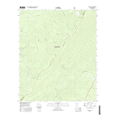
2017 Map of Ocean Bay
USGS Topo · Published 2017About this map
The Francis Marion National Forest defines this coastal South Carolina landscape, where the interplay of low-lying wetlands and timbered tracts is evidenced by the numerous water bodies and drainage canals. Named for the distinct terrain feature Ocean Bay, the area is heavily marked by blackwater systems including Ion Swamp, Willow Hall Swamp, and King Swamp. These wetlands are drained by an intricate network of creeks like Awendaw Creek and Cooter Cr, along with the Withey Wood Canal. For those tracing local heritage, the map identifies small, isolated burial grounds such as Halfway Creek Cem and Apple Old Field Cem. Modern recreation and traditional forest management intersect here, shown through the extensive Wambaw Cycle Trail and the long-distance Swamp Fox / Palmetto Trail, which provide access to the interior of this heavily wooded Berkeley and Charleston County borderland.
Find a feature on this map
45 named features on this map. Tap any name to fly to it.
Don’t see what you’re looking for? This feature index may not catch every label — zoom into the map to look around manually.
Map Details
Editions of this 2017 Ocean Bay Map
This is the sole edition of this map. No revisions or reprints were ever made.
Other maps of this area

1919 · Wando
USGS Topo · 1:21,120

1919 · Cordesville
USGS Topo · 1:48,000

1919 · Bulls Island
USGS Topo · 1:21,120

1919 · Sewee Bay
USGS Topo · 1:21,120

1942 · Honey Hill
USGS Topo · 1:24,000

1943 · Wando
USGS Topo · 1:24,000

1943 · Sewee Bay
USGS Topo · 1:24,000

1943 · Bulls Island
USGS Topo · 1:24,000

1943 · Shulerville
USGS Topo · 1:24,000

1943 · Awendaw
USGS Topo · 1:24,000