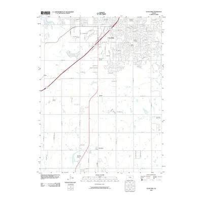
2009 Map of Ocheltree
USGS Topo · Published 2009About this map
Olathe anchors the northern portion of this landscape, showing a dense network of suburban development and civic infrastructure at the end of the first decade of the 2000s. The campus of MidAmerica Nazarene University and the Dillions Number 6 Post Office serve as focal points for the community, while the Mount Calvary Catholic Cemetery provides a connection to the area's longer social history.
Find a feature on this map
81 named features on this map. Tap any name to fly to it.
Don’t see what you’re looking for? This feature index may not catch every label — zoom into the map to look around manually.
Map Details
Editions of this 2009 Ocheltree Map
This is the sole edition of this map. No revisions or reprints were ever made.
Other maps of this area

1887 · Olathe
USGS Topo · 1:125,000

1893 · Olathe
USGS Topo · 1:125,000

1935 · Olathe
USGS Topo · 1:24,000

1935 · Lenexa
USGS Topo · 1:24,000

1943 · Lenexa
USGS Topo · 1:31,680

1943 · Olathe
USGS Topo · 1:31,680

1947 · Lawrence
USGS Topo · 1:250,000

1950 · Lawrence
USGS Topo · 1:250,000

1951 · De Soto
USGS Topo · 1:24,000

1956 · Stilwell
USGS Topo · 1:24,000