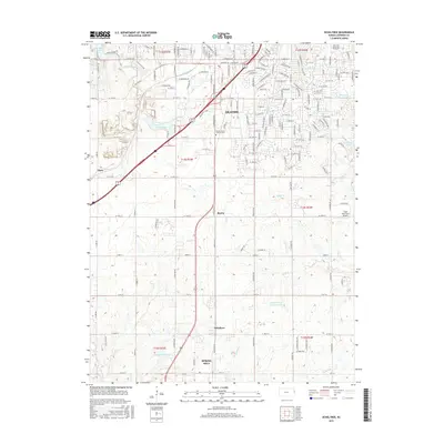
2015 Map of Ocheltree
USGS Topo · Published 2015About this map
The southern expansion of Olathe and the northern reaches of Spring Hill dominate this landscape, illustrating the suburban evolution in Johnson County by the mid-2010s. The map captures a mix of residential development and agricultural heritage, centered on the historic crossroads of Ocheltree and the small settlements of Bonita and Clare. Water management is a defining feature of the area, with several significant reservoirs including Olathe Lake, New Olathe Lake, and Spring Hill City Lake providing recreation and utility.
Find a feature on this map
153 named features on this map. Tap any name to fly to it.
Don’t see what you’re looking for? This feature index may not catch every label — zoom into the map to look around manually.
Map Details
Editions of this 2015 Ocheltree Map
This is the sole edition of this map. No revisions or reprints were ever made.
Other maps of this area

1887 · Olathe
USGS Topo · 1:125,000

1893 · Olathe
USGS Topo · 1:125,000

1935 · Olathe
USGS Topo · 1:24,000

1935 · Lenexa
USGS Topo · 1:24,000

1943 · Lenexa
USGS Topo · 1:31,680

1943 · Olathe
USGS Topo · 1:31,680

1947 · Lawrence
USGS Topo · 1:250,000

1950 · Lawrence
USGS Topo · 1:250,000

1951 · De Soto
USGS Topo · 1:24,000

1956 · Stilwell
USGS Topo · 1:24,000