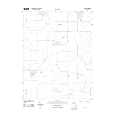
2012 Map of Oconee
USGS Topo · Published 2012About this map
Oconee serves as the primary hub for this rural Illinois landscape, where a network of gravel and paved roads connects scattered farmsteads and cemeteries. The agricultural character of the region is punctuated by family and community landmarks like Mount Cem, Price Cem, and the Oconee Mound Cem. To the north, the terrain transitions into a more recreational and residential character near Lake Pana and Paragon Lake, with specialized sites like the Tex Landing Strip and Beyers Lk adding local interest. A intricate system of waterways, including Coal Cr, Becks Cr, and the winding Opossum Cr, drains the prairie land. The presence of Sacred Heart Cem near the town center reflects the religious and social foundations of this central Illinois community during the early twenty-first century.
Find a feature on this map
81 named features on this map. Tap any name to fly to it.
Don’t see what you’re looking for? This feature index may not catch every label — zoom into the map to look around manually.
Map Details
Editions of this 2012 Oconee Map
This is the sole edition of this map. No revisions or reprints were ever made.
Other maps of this area

1941 · St. Elmo
USGS Topo · 1:62,500

1942 · Shelbyville
USGS Topo · 1:62,500

1944 · Ramsey
USGS Topo · 1:62,500

1945 · St. Elmo
USGS Topo · 1:62,500

1946 · Shelbyville
USGS Topo · 1:62,500

1946 · Ramsey
USGS Topo · 1:62,500

1947 · Pana
USGS Topo · 1:62,500

1949 · Pana
USGS Topo · 1:62,500

1958 · Decatur
USGS Topo · 1:250,000

1961 · Decatur
USGS Topo · 1:250,000