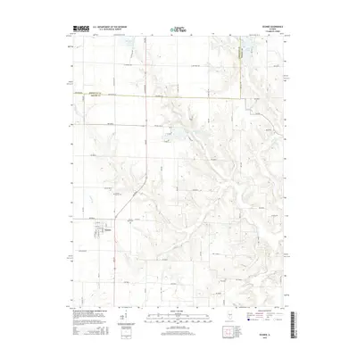
2015 Map of Oconee
USGS Topo · Published 2015About this map
Oconee sits at the intersection of local history and rural geography, marked by a dense grid of township roads that cross the border between Christian Co and Shelby Co. This 2015 update details the village center along N 2nd St and N 1st St, providing a clear record of the community's layout and its proximity to several established burial grounds. The surrounding landscape is defined by the winding paths of Becks Cr and Opossum Cr, which drain the agricultural land into reservoirs like Lake Pana and Boy Scout Lake. Genealogists will find the locations of Oconee Mound Cem, Sacred Heart Cem, Mount Cem, and Price Cem particularly useful for tracing family roots across the county line. The presence of Paragon Lake in the north and the thoroughfares like Fair Ave illustrate the modern infrastructure supporting this prairie region.
Find a feature on this map
62 named features on this map. Tap any name to fly to it.
Don’t see what you’re looking for? This feature index may not catch every label — zoom into the map to look around manually.
Map Details
Editions of this 2015 Oconee Map
This is the sole edition of this map. No revisions or reprints were ever made.
Other maps of this area
1941 · St. Elmo
USGS Topo · 1:62,500
1942 · Shelbyville
USGS Topo · 1:62,500
1944 · Ramsey
USGS Topo · 1:62,500
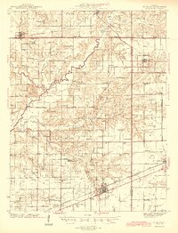
1945 · St. Elmo
USGS Topo · 1:62,500
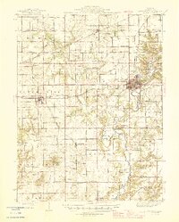
1946 · Shelbyville
USGS Topo · 1:62,500
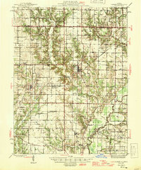
1946 · Ramsey
USGS Topo · 1:62,500
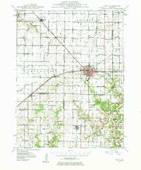
1947 · Pana
USGS Topo · 1:62,500
1949 · Pana
USGS Topo · 1:62,500
1958 · Decatur
USGS Topo · 1:250,000
1961 · Decatur
USGS Topo · 1:250,000