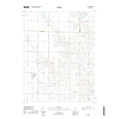
2018 Map of Oconee
USGS Topo · Published 2018About this map
The village of Oconee serves as the focal point of this central Illinois landscape, where the grid of the Illinois prairie meets the dendritic drainage of the Opossum Cr and Becks Cr systems. The map captures a transition from the agricultural uplands north of Co HWY 14 to the more dissected terrain of the t10n r1e and t11n r2e townships.
Find a feature on this map
42 named features on this map. Tap any name to fly to it.
Don’t see what you’re looking for? This feature index may not catch every label — zoom into the map to look around manually.
Map Details
Editions of this 2018 Oconee Map
This is the sole edition of this map. No revisions or reprints were ever made.
Other maps of this area
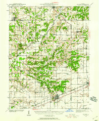
1941 · St. Elmo
USGS Topo · 1:62,500
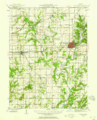
1942 · Shelbyville
USGS Topo · 1:62,500
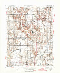
1944 · Ramsey
USGS Topo · 1:62,500
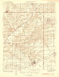
1945 · St. Elmo
USGS Topo · 1:62,500
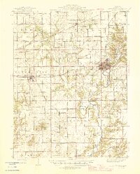
1946 · Shelbyville
USGS Topo · 1:62,500
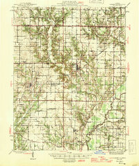
1946 · Ramsey
USGS Topo · 1:62,500
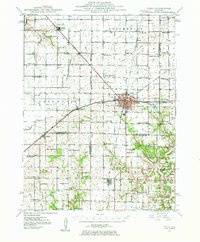
1947 · Pana
USGS Topo · 1:62,500
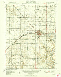
1949 · Pana
USGS Topo · 1:62,500
1958 · Decatur
USGS Topo · 1:250,000
1961 · Decatur
USGS Topo · 1:250,000