
1962 Map of Oconee
USGS Topo · Published 1963About this map
The Oconee River serves as the primary geographical divider in this early 1960s survey, separating the county lines of Wilkinson and Washington. Along the eastern bank, the settlement of Oconee and the neighboring community of Gardner are situated atop the elevations overlooking the river floodplains. The Central of Georgia railroad provides the industrial backbone for this area, passing through the town and connecting the local economy to the wider region.
Find a feature on this map
49 named features on this map. Tap any name to fly to it.
Don’t see what you’re looking for? This feature index may not catch every label — zoom into the map to look around manually.
Map Details
Editions of this 1962 Oconee Map
This is the sole edition of this map. No revisions or reprints were ever made.
Other maps of this area

1916 · Irwinton
USGS Topo · 1:62,500

1920 · Irwinton
USGS Topo · 1:62,500

1957 · Macon
USGS Topo · 1:250,000

1958 · Macon
USGS Topo · 1:250,000

1962 · Irwins Crossroads
USGS Topo · 1:24,000

1962 · Tabernacle
USGS Topo · 1:24,000

1962 · Sandersville
USGS Topo · 1:24,000

1964 · Macon
USGS Topo · 1:250,000
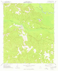
1973 · Toomsboro
USGS Topo · 1:24,000
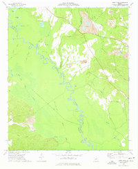
1973 · Gumm Pond
USGS Topo · 1:24,000