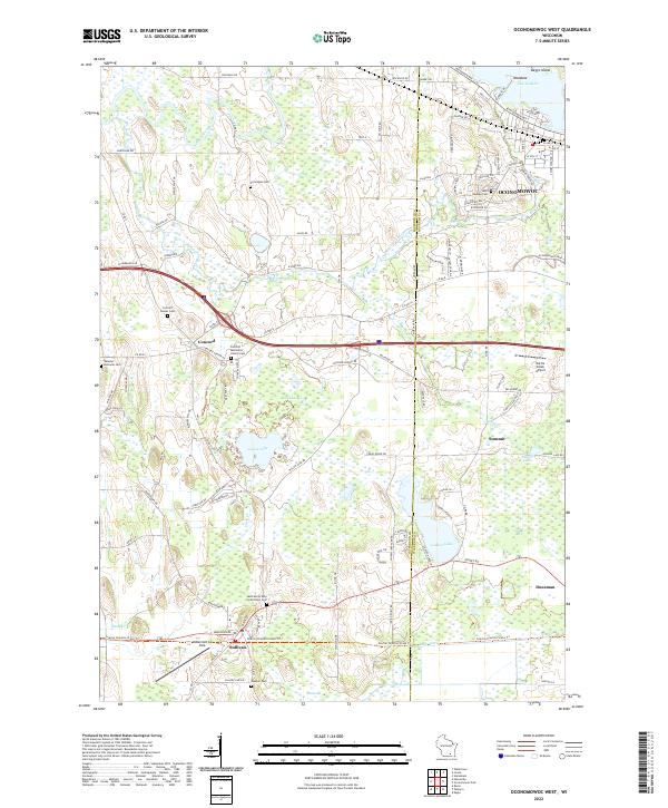
2022 Map of Oconomowoc West
USGS Topo · Published 2022About this map
Oconomowoc and its surrounding wetlands define this modern topographic study of the Jefferson and Waukesha county border. The landscape is a complex network of glacial hydrology, including the wide bends of the Rock River and the Oconomowoc River, alongside numerous kettle lakes such as Lac La Belle and Golden Lake. The rural character of the region is anchored by scattered settlements like Concord and Sullivan, which are surrounded by several historic burial grounds such as the Norwegian Cem and Concord Methodist Church Cem. The area’s aviation history is visible through small landing strips like McDermott Air Park and Battle Creek Airport. This survey captures the region's balance between residential development in the east and the expansive marshlands of the Bark River valley to the south.
Find a feature on this map
117 named features on this map. Tap any name to fly to it.
Don’t see what you’re looking for? This feature index may not catch every label — zoom into the map to look around manually.
Map Details
Editions of this 2022 Oconomowoc West Map
This is the sole edition of this map. No revisions or reprints were ever made.
Historical Maps of Jefferson County Through Time
9 maps found

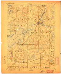
1891 Koshkonong
Jefferson County, WI
1894 Koshkonong
Jefferson County, WI
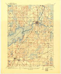
1906 Koshkonong
Jefferson County, WI
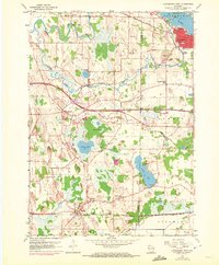
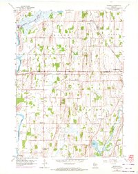
1959 Oconomowoc West
Jefferson County, WI
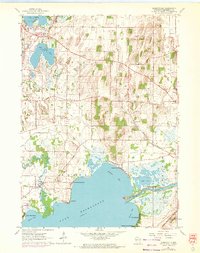
1959 Richwood
Jefferson County, WI
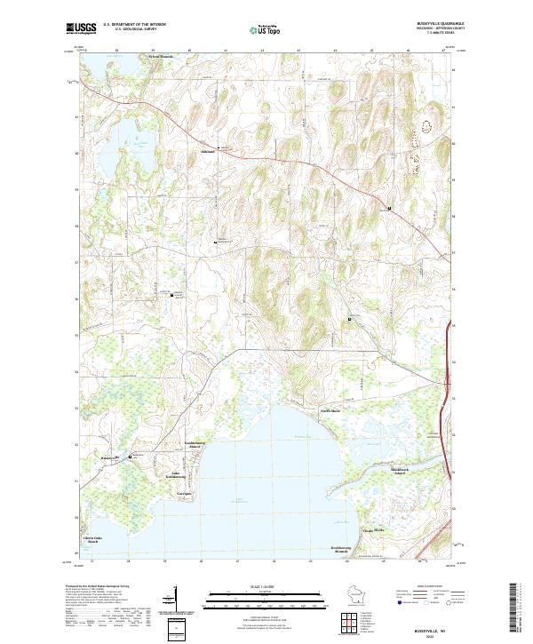
1961 Busseyville
Jefferson County, WI
2022 Busseyville
Jefferson County, WI
2022 Oconomowoc West
Jefferson County, WI
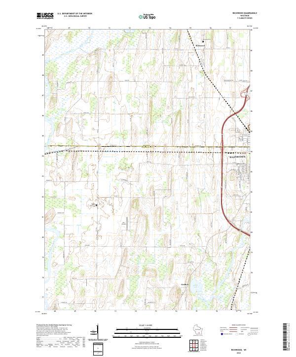
2022 Richwood
Jefferson County, WI