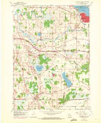
1959 Map of Oconomowoc West
USGS Topo · Published 1972About this map
Oconomowoc serves as the focal point of this landscape, situated alongside Lac La Belle where the Chicago Milwaukee St Paul and Pacific railroad intersects the urban grid. The map reveals a transition from this bustling lakeside community to the agricultural townships of Concord, Sullivan, and Ixonia. The terrain is defined by a glacial legacy of kettle lakes and meandering waterways, including Goose Lake, Golden Lake, and the winding Oconomowoc River.
Find a feature on this map
38 named features on this map. Tap any name to fly to it.
Don’t see what you’re looking for? This feature index may not catch every label — zoom into the map to look around manually.
Map Details
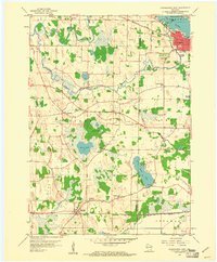
Editions of this 1959 Oconomowoc West Map
2 editions found
Other maps of this area

1892 · Watertown
USGS Topo · 1:62,500

1892 · Oconomowoc
USGS Topo · 1:62,500

1892 · Whitewater
USGS Topo · 1:62,500

1892 · Eagle
USGS Topo · 1:62,500

1893 · Whitewater
USGS Topo · 1:62,500

1894 · Watertown
USGS Topo · 1:62,500

1894 · Eagle
USGS Topo · 1:62,500

1897 · Eagle
USGS Topo · 1:62,500

1903 · Whitewater
USGS Topo · 1:62,500

1906 · Eagle
USGS Topo · 1:62,500