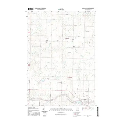
2016 Map of Oconto Falls North
USGS Topo · Published 2016About this map
The Oconto River winds through the southern portion of this landscape, framing the northern residential and industrial expansion of Oconto Falls. This survey illustrates the transition from the concentrated settlement at the river's edge to the rural townships of the north, where small clusters like Spruce and Kelly Brook maintain their identity through local landmarks and cemeteries. The terrain is marked by a high density of water bodies, including Balcom Lake, Kuplic Lake, and Beaver Lake, which reflect the region's post-glacial topography.
Find a feature on this map
89 named features on this map. Tap any name to fly to it.
Don’t see what you’re looking for? This feature index may not catch every label — zoom into the map to look around manually.
Map Details
Editions of this 2016 Oconto Falls North Map
This is the sole edition of this map. No revisions or reprints were ever made.
Other maps of this area

1941 · Coleman
USGS Topo · 1:48,000

1942 · Coleman
USGS Topo · 1:48,000

1942 · Breed
USGS Topo · 1:48,000

1950 · Coleman
USGS Topo · 1:48,000

1952 · Mountain
USGS Topo · 1:48,000

1954 · Iron Mountain
USGS Topo · 1:250,000

1955 · Green Bay
USGS Topo · 1:250,000

1956 · Gillett
USGS Topo · 1:62,500

1956 · Oconto Falls
USGS Topo · 1:62,500

1959 · Iron Mountain
USGS Topo · 1:250,000