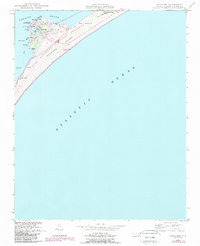
1948 Map of Ocracoke
USGS Topo · Published 1984About this map
Ocracoke occupies the southwestern tip of Ocracoke Island, where the village's life is inextricably tied to the surrounding waters of Pamlico Sound and the Atlantic Ocean. The settlement clusters around Silver Lake, a harbor supported by a Coast Guard Sta and the iconic Ocracoke (L H) lighthouse. This mid-century landscape reflects an era of transition as the area became part of the Cape Hatteras National Seashore.
Find a feature on this map
29 named features on this map. Tap any name to fly to it.
Don’t see what you’re looking for? This feature index may not catch every label — zoom into the map to look around manually.
Map Details
Editions of this 1948 Ocracoke Map
2 editions found
Other maps of this area

1948 · Portsmouth
USGS Topo · 1:24,000
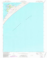
1948 · Ocracoke
USGS Topo · 1:24,000

1950 · Howard Reef
USGS Topo · 1:24,000

1950 · Portsmouth
USGS Topo · 1:24,000
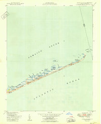
1950 · Green Island
USGS Topo · 1:24,000

1953 · Rocky Mount
USGS Topo · 1:250,000

1953 · Beaufort
USGS Topo · 1:250,000

1954 · Rocky Mount
USGS Topo · 1:250,000

1954 · Beaufort
USGS Topo · 1:250,000

1955 · Wanchese
USGS Topo · 1:250,000