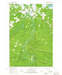
1964 Map of Odanah
USGS Topo · Published 1965About this map
The settlement of Odanah serves as the focal point for this survey, situated at the complex junction where the Bad River and White River converge before emptying into Lake Superior. In the mid-1960s, the community's local geography is anchored by the Odanah Ch and Odanah Cem, with the Chicago and North Western railroad providing a vital transport corridor across the northern marshlands.
Find a feature on this map
26 named features on this map. Tap any name to fly to it.
Don’t see what you’re looking for? This feature index may not catch every label — zoom into the map to look around manually.
Map Details
Editions of this 1964 Odanah Map
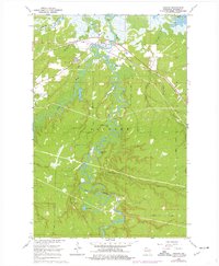
2 editions found
Other maps of this area

1942 · Ashland
USGS Topo · 1:48,000

1942 · Mellen
USGS Topo · 1:48,000

1942 · Marengo
USGS Topo · 1:48,000

1943 · Odanah
USGS Topo · 1:48,000

1945 · Odanah
USGS Topo · 1:48,000

1945 · Marengo
USGS Topo · 1:48,000

1945 · Mellen
USGS Topo · 1:48,000

1947 · Ashland
USGS Topo · 1:48,000

1953 · Ashland
USGS Topo · 1:250,000

1958 · Ashland
USGS Topo · 1:250,000