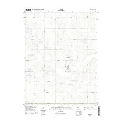
2014 Map of Odell
USGS Topo · Published 2014About this map
Odell serves as a central hub on this landscape just north of the Nebraska-Kansas state line. The village is organized around a grid including Main St and Railroad St, with the surrounding countryside defined by a sophisticated system of flood control reservoirs. These include Big Indian Cr Reservoir 5-D and the Diamond Lakes along the course of Big Indian Cr.
Find a feature on this map
60 named features on this map. Tap any name to fly to it.
Don’t see what you’re looking for? This feature index may not catch every label — zoom into the map to look around manually.
Map Details
Editions of this 2014 Odell Map
This is the sole edition of this map. No revisions or reprints were ever made.
Other maps of this area
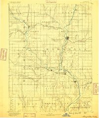
1889 · Marysville
USGS Topo · 1:125,000
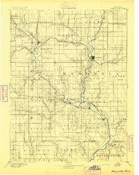
1894 · Marysville
USGS Topo · 1:125,000

1955 · Manhattan
USGS Topo · 1:250,000
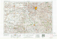
1955 · Lincoln
USGS Topo · 1:250,000
1956 · Manhattan
USGS Topo · 1:250,000
1957 · Manhattan
USGS Topo · 1:250,000
1957 · Lincoln
USGS Topo · 1:250,000
1958 · Lincoln
USGS Topo · 1:250,000
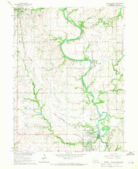
1964 · Blue Springs
USGS Topo · 1:24,000
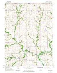
1966 · Herkimer
USGS Topo · 1:24,000