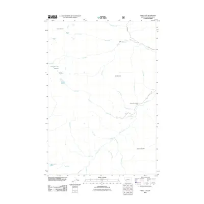
2011 Map of Odell Lake
USGS Topo · Published 2011About this map
Bearpaw Mine sits at the head of a drainage system in this high-altitude corner of Beaverhead County, Montana. The landscape is defined by a dense network of mountain water bodies including Schwinegar Lake, Odell Lake, and the small Lake of the Woods, which feed a complex web of named creeks. These waterways, such as Odell Creek and Lacy Creek, carve through the terrain between prominent peaks like Table Mountain and Seymore Mountain.
Find a feature on this map
33 named features on this map. Tap any name to fly to it.
Don’t see what you’re looking for? This feature index may not catch every label — zoom into the map to look around manually.
Map Details
Editions of this 2011 Odell Lake Map
This is the sole edition of this map. No revisions or reprints were ever made.
Other maps of this area

1955 · Dillon
USGS Topo · 1:250,000

1957 · Dillon
USGS Topo · 1:250,000

1958 · Dillon
USGS Topo · 1:250,000
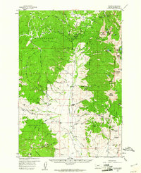
1959 · Polaris
USGS Topo · 1:62,500

1962 · Dillon
USGS Topo · 1:250,000
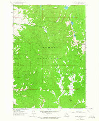
1962 · Stewart Mountain
USGS Topo · 1:24,000
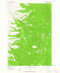
1962 · Proposal Rock
USGS Topo · 1:24,000
1965 · Dillon
USGS Topo · 1:250,000
1978 · Odell Lake
USGS Topo · 1:24,000
1978 · Maurice Mountain
USGS Topo · 1:24,000