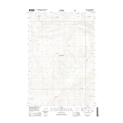
2014 Map of Odell Lake
USGS Topo · Published 2014About this map
Beaverhead National Forest encompasses this high-altitude landscape in Beaverhead County, dominated by a complex network of glacial lakes and mountain peaks. The drainage patterns are defined by numerous creeks like Odell Cr and Lacy Cr, which flow from the shadows of summits such as Bobcat Mtn and Table Mtn. A cluster of alpine water bodies, including Odell Lake, Lake of the Woods, and Schwinegar Lake, characterizes the western portion of the quadrangle. Human infrastructure is limited to primitive forest routes, notably Lacy Creek Rd and Wyman Creek Rd, which provide the only managed access into the drainage basins of Wyman Cr and Armor Cr. The map preserves the specific grazing and timber boundaries of the early 21st century, including named areas like Jerked Prairie in the northeast.
Find a feature on this map
45 named features on this map. Tap any name to fly to it.
Don’t see what you’re looking for? This feature index may not catch every label — zoom into the map to look around manually.
Map Details
Editions of this 2014 Odell Lake Map
This is the sole edition of this map. No revisions or reprints were ever made.
Other maps of this area

1955 · Dillon
USGS Topo · 1:250,000

1957 · Dillon
USGS Topo · 1:250,000

1958 · Dillon
USGS Topo · 1:250,000
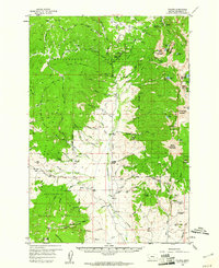
1959 · Polaris
USGS Topo · 1:62,500

1962 · Dillon
USGS Topo · 1:250,000
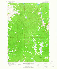
1962 · Stewart Mountain
USGS Topo · 1:24,000
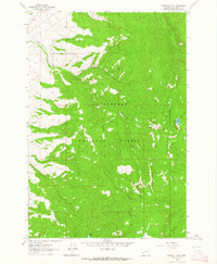
1962 · Proposal Rock
USGS Topo · 1:24,000
1965 · Dillon
USGS Topo · 1:250,000
1978 · Odell Lake
USGS Topo · 1:24,000
1978 · Maurice Mountain
USGS Topo · 1:24,000