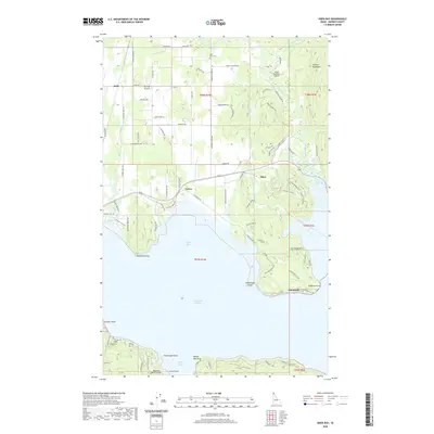
2020 Map of Oden Bay
USGS Topo · Published 2020About this map
Lake Pend Oreille dominates the southern half of this Idaho panhandle study, where its shoreline is defined by several prominent points and bays including Oden Bay, Bottle Bay, and Sourdough Point. The landscape transitions from the open waters and marshes of Boyer Slough to the rising elevations of Sunnyside Mtn and the Cabinet Mountains to the northeast. The Purcell Trench runs through the western portion of the map, providing a natural corridor for the settlements of Selle and Culver.
Find a feature on this map
92 named features on this map. Tap any name to fly to it.
Don’t see what you’re looking for? This feature index may not catch every label — zoom into the map to look around manually.
Map Details
Editions of this 2020 Oden Bay Map
This is the sole edition of this map. No revisions or reprints were ever made.
Other maps of this area
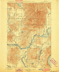
1901 · Sandpoint
USGS Topo · 1:125,000
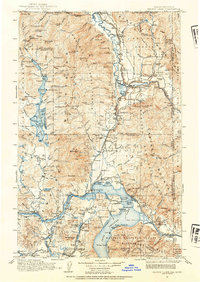
1911 · Priest Lake
USGS Topo · 1:250,000
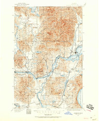
1911 · Sandpoint
USGS Topo · 1:125,000
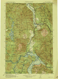
1913 · Priest Lake
USGS Topo · 1:250,000
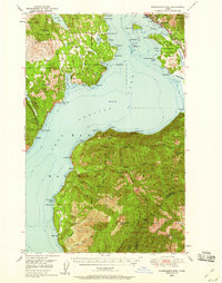
1949 · Packsaddle Mtn
USGS Topo · 1:62,500
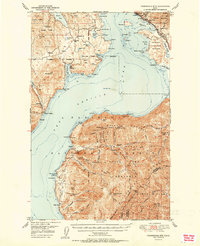
1951 · Packsaddle Mtn
USGS Topo · 1:62,500
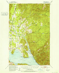
1951 · Elmira
USGS Topo · 1:62,500
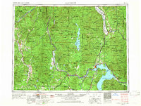
1958 · Sandpoint
USGS Topo · 1:250,000
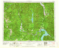
1963 · Sandpoint
USGS Topo · 1:250,000
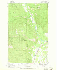
1968 · Colburn
USGS Topo · 1:24,000