
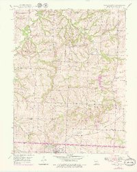
1949 Map of Odessa North
USGS Topo · Published 1976About this map
Odessa serves as the southern anchor for this rural landscape in Lafayette County, where the Gulf Mobile And Ohio railroad cuts a straight path across the lower portion of the map near Lake Venita. The terrain is defined by the winding drainages of Little Sni-A-Bar Creek and East Fork Sni-A-Bar Creek, which carve through the townships of Clay, Lexington, and Washington.
Find a feature on this map
25 named features on this map. Tap any name to fly to it.
Don’t see what you’re looking for? This feature index may not catch every label — zoom into the map to look around manually.
Map Details
Editions of this 1949 Odessa North Map
2 editions found
Other maps of this area

1885 · Warrensburg
USGS Topo · 1:125,000

1887 · Harrisonville
USGS Topo · 1:125,000

1887 · Warrensburg
USGS Topo · 1:125,000

1889 · Lexington
USGS Topo · 1:125,000

1892 · Harrisonville
USGS Topo · 1:125,000

1894 · Harrisonville
USGS Topo · 1:125,000

1894 · Independence
USGS Topo · 1:125,000

1894 · Warrensburg
USGS Topo · 1:125,000

1947 · Jefferson City
USGS Topo · 1:250,000

1947 · Lawrence
USGS Topo · 1:250,000