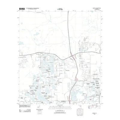
2012 Map of Odessa
USGS Topo · Published 2012About this map
Odessa serves as the focal point for this 2012 study of Hillsborough County's lake-strewn interior. The landscape is defined by an intricate network of residential enclaves and recreational sites, notably Camp Keystone, Camp Singing Pines, and Camp Mawain. This period reflects a mature suburban-rural mix where local life centers on water bodies like Keystone Lake and Lake Fern. The presence of Tampa Bay Executive Airport at the western edge indicates the area's role in regional transportation and general aviation.
Find a feature on this map
178 named features on this map. Tap any name to fly to it.
Don’t see what you’re looking for? This feature index may not catch every label — zoom into the map to look around manually.
Map Details
Editions of this 2012 Odessa Map
This is the sole edition of this map. No revisions or reprints were ever made.
Other maps of this area

1943 · Odessa
USGS Topo · 1:24,000

1943 · Elfers
USGS Topo · 1:24,000

1943 · Lutz
USGS Topo · 1:24,000

1943 · Oldsmar
USGS Topo · 1:24,000

1944 · Sulphur Springs
USGS Topo · 1:31,680

1944 · Elfers
USGS Topo · 1:31,680

1944 · Lutz
USGS Topo · 1:31,680

1944 · Oldsmar
USGS Topo · 1:31,680

1944 · Odessa
USGS Topo · 1:31,680

1945 · Sulphur Springs
USGS Topo · 1:31,680