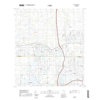
2018 Map of Odessa
USGS Topo · Published 2018About this map
Odessa and the surrounding lake country of northwestern Hillsborough and southern Pasco counties are defined by an intricate network of freshwater basins and winding river headwaters. The Anclote River and its branches, including the S Br Anclote River and Cypress Br, carve through the wetlands in the northern reaches of the map. This area is a patchwork of residential growth and preserved hydrology, where named bodies of water like Keystone Lake, Lake Hiawatha, and Island Ford Lake dictate the layout of local roads and neighborhoods.
Find a feature on this map
164 named features on this map. Tap any name to fly to it.
Don’t see what you’re looking for? This feature index may not catch every label — zoom into the map to look around manually.
Map Details
Editions of this 2018 Odessa Map
This is the sole edition of this map. No revisions or reprints were ever made.
Other maps of this area

1943 · Odessa
USGS Topo · 1:24,000

1943 · Elfers
USGS Topo · 1:24,000

1943 · Lutz
USGS Topo · 1:24,000

1943 · Oldsmar
USGS Topo · 1:24,000

1944 · Sulphur Springs
USGS Topo · 1:31,680

1944 · Elfers
USGS Topo · 1:31,680

1944 · Lutz
USGS Topo · 1:31,680

1944 · Oldsmar
USGS Topo · 1:31,680

1944 · Odessa
USGS Topo · 1:31,680

1945 · Sulphur Springs
USGS Topo · 1:31,680