Loading...
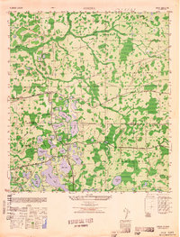
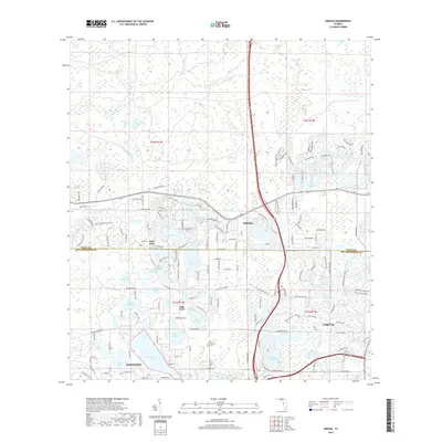
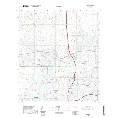
Loading map...1943 Map of Odessa
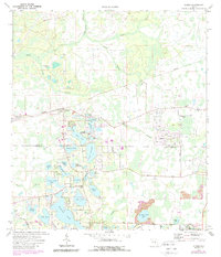
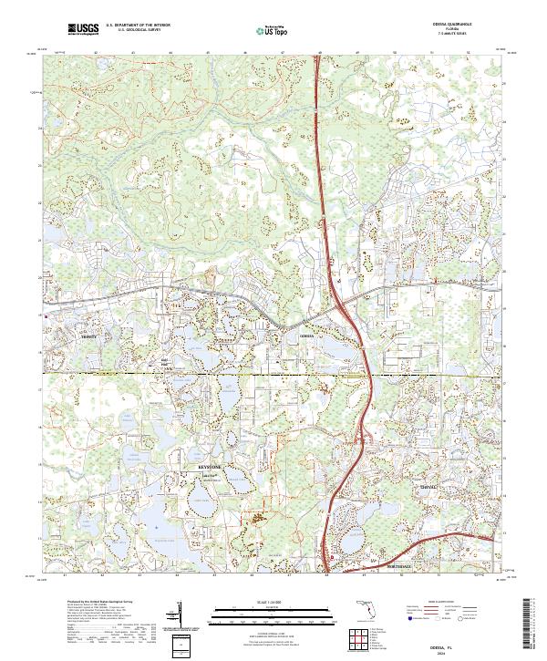
USGS Topo · Published 1973About this map
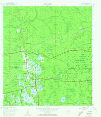
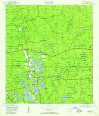
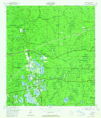
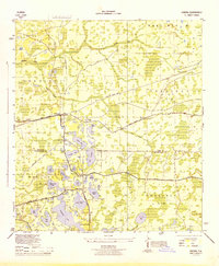
The Anclote River and Brooker Creek drainage systems define this landscape along the Pasco and Hillsborough County line during the early 1940s. The settlement of Odessa serves as a central hub, situated where the Atlantic Coast Line railroad intersects Gunn Highway. This era shows a transition in transportation, with an old railroad grade still visible north of the active tracks.
Find a feature on this map
34 named features on this map. Tap any name to fly to it.
Don’t see what you’re looking for? This feature index may not catch every label — zoom into the map to look around manually.
Map Details
Date Portrayed1943
Date Published1973
PublisherU.S. Geological Survey
Map TypeTopographic
Scale1:24,000
Physical Dimensions23 x 26.8 inches
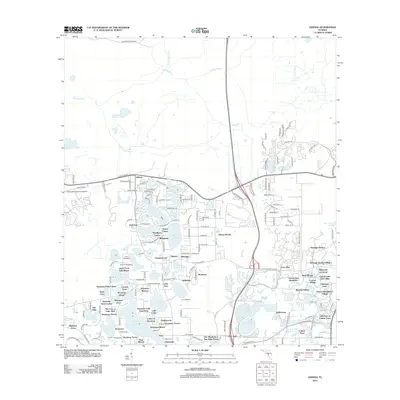
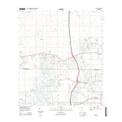
Editions of this 1943 Odessa Map
3 editions found
Historical Maps of Lutz Through Time
9 maps found
Featured Locations
Source Details
SourceU.S. Geological Survey
CopyrightPublic Domain