
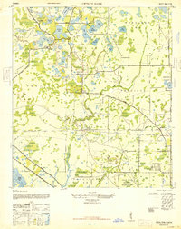
1944 Map of Odessa
USGS Topo · Published 1944About this map
Odessa and the surrounding lake country of the Florida peninsula are mapped here during the mid-1940s, a period when this region was defined by its citrus groves and wetlands rather than suburban sprawl. The settlement of Lake Fern serves as a local hub near the Lake Fern School, while the broader landscape is characterized by an intricate network of named water bodies including Keystone Lake, Parker Lake, and Osceola Lake.
Find a feature on this map
40 named features on this map. Tap any name to fly to it.
Don’t see what you’re looking for? This feature index may not catch every label — zoom into the map to look around manually.
Map Details
Editions of this 1944 Odessa Map
This is the sole edition of this map. No revisions or reprints were ever made.
Other maps of this area

1943 · Odessa
USGS Topo · 1:24,000

1943 · Elfers
USGS Topo · 1:24,000

1943 · Lutz
USGS Topo · 1:24,000

1943 · Oldsmar
USGS Topo · 1:24,000

1944 · Sulphur Springs
USGS Topo · 1:31,680

1944 · Elfers
USGS Topo · 1:31,680

1944 · Lutz
USGS Topo · 1:31,680

1944 · Oldsmar
USGS Topo · 1:31,680

1945 · Sulphur Springs
USGS Topo · 1:31,680
1947 · Citrus Park
USGS Topo · 1:24,000