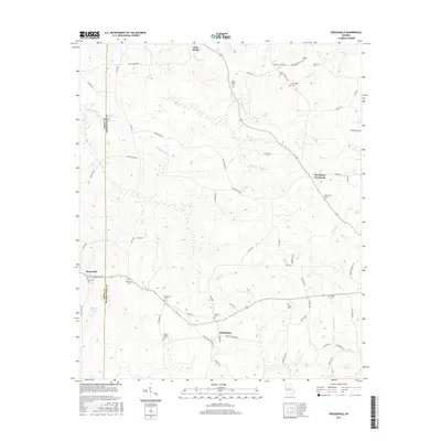
2017 Map of Odessadale
USGS Topo · Published 2017About this map
Saint Marks and Odessadale anchor this western Georgia landscape, where the boundary between Troup and Meriwether counties carves through a network of creeks and family settlements. The terrain is defined by its deep genealogical roots, visible in the numerous small burial grounds scattered across the countryside, including the Branch Hebron Cem, Florence Cem, and Ollie Branch Cem. Many of these sites are situated near historical junctions like Thompson Crossroad.
Find a feature on this map
69 named features on this map. Tap any name to fly to it.
Don’t see what you’re looking for? This feature index may not catch every label — zoom into the map to look around manually.
Map Details
Editions of this 2017 Odessadale Map
This is the sole edition of this map. No revisions or reprints were ever made.
Other maps of this area

1907 · Talbotton
USGS Topo · 1:125,000

1934 · Warm Springs
USGS Topo · 1:62,500

1936 · Warm Springs
USGS Topo · 1:62,500

1953 · Atlanta
USGS Topo · 1:250,000

1955 · Phenix City
USGS Topo · 1:250,000

1957 · Phenix City
USGS Topo · 1:250,000

1957 · Atlanta
USGS Topo · 1:250,000

1958 · Phenix City
USGS Topo · 1:250,000

1958 · Atlanta
USGS Topo · 1:250,000

1964 · Hogansville
USGS Topo · 1:24,000