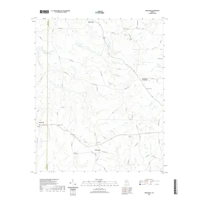
2020 Map of Odessadale
USGS Topo · Published 2020About this map
Saint Marks and Odessadale anchor the rural landscape of West Georgia in this detailed study of the border between Troup and Meriwether counties. The terrain is defined by a dense network of tributaries including Bear Cr, Beech Cr, and Piney Woods Br, which feed into the larger drainage systems of the region. This area maintains its traditional agrarian character, evidenced by the numerous small family and community burial grounds scattered throughout the hills.
Find a feature on this map
69 named features on this map. Tap any name to fly to it.
Don’t see what you’re looking for? This feature index may not catch every label — zoom into the map to look around manually.
Map Details
Editions of this 2020 Odessadale Map
This is the sole edition of this map. No revisions or reprints were ever made.
Other maps of this area

1907 · Talbotton
USGS Topo · 1:125,000

1934 · Warm Springs
USGS Topo · 1:62,500

1936 · Warm Springs
USGS Topo · 1:62,500

1953 · Atlanta
USGS Topo · 1:250,000

1955 · Phenix City
USGS Topo · 1:250,000

1957 · Phenix City
USGS Topo · 1:250,000

1957 · Atlanta
USGS Topo · 1:250,000

1958 · Phenix City
USGS Topo · 1:250,000

1958 · Atlanta
USGS Topo · 1:250,000

1964 · Hogansville
USGS Topo · 1:24,000