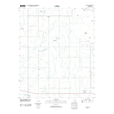
2010 Map of Odetta
USGS Topo · Published 2010About this map
Charons Garden Mountains rise in the northeast corner of this Kiowa County landscape, where the terrain breaks into evocative landmarks like Styx Canyon, Sunset Peak, and the Bad Lands. This area is defined by a complex network of seasonal drainage and water management, featuring numerous named dams and reservoirs such as Oknoname 075009 Reservoir and Oknoname 031065 Reservoir. The settlement of Odetta serves as a central point for the local rural road grid, where North-South routes like n2320 RD intersect East-West thoroughfares. The landscape is deeply etched by waterways including Deep Red Creek, Sandy Creek, and Little Post Oak Creek, reflecting a region focused on water conservation and land management in the early 21st century.
Find a feature on this map
42 named features on this map. Tap any name to fly to it.
Don’t see what you’re looking for? This feature index may not catch every label — zoom into the map to look around manually.
Map Details
Editions of this 2010 Odetta Map
This is the sole edition of this map. No revisions or reprints were ever made.
Other maps of this area

1937 · Cache
USGS Topo · 1:48,000

1937 · Quanah Mountain
USGS Topo · 1:24,000

1942 · Cache
USGS Topo · 1:62,500

1949 · Cooperton
USGS Topo · 1:62,500

1949 · Quanah Mountain
USGS Topo · 1:24,000

1950 · Snyder
USGS Topo · 1:62,500

1950 · Saddle Mountain
USGS Topo · 1:62,500

1955 · Lawton
USGS Topo · 1:250,000

1956 · Post Oak Creek
USGS Topo · 1:24,000

1956 · Glen Mountains
USGS Topo · 1:24,000