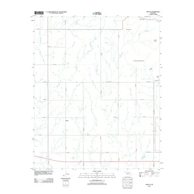
2012 Map of Odetta
USGS Topo · Published 2012About this map
Odetta serves as the primary focal point of this southwestern Oklahoma landscape, positioned amidst a grid-like network of rural roads that cross the plains. To the northeast, the terrain shifts dramatically with the emergence of the Charons Garden Mountains, featuring prominent landmarks like Sunset Peak and the geological variations of the Bad Lands. The map records a complex drainage system where Deep Red Cr, Sandy Cr, and Little Post Oak Cr converge and wind through the lowlands. This survey illustrates the contrast between the organized agricultural section lines and the unconventional topography of Broken Hills and Styx Canyon, offering a detailed view of the water sources such as Cottonwood Spring ? that supported the area's development. The presence of Buffalo Gap further highlights the natural corridors used for movement through this distinct Oklahoma territory.
Find a feature on this map
33 named features on this map. Tap any name to fly to it.
Don’t see what you’re looking for? This feature index may not catch every label — zoom into the map to look around manually.
Map Details
Editions of this 2012 Odetta Map
This is the sole edition of this map. No revisions or reprints were ever made.
Other maps of this area

1937 · Cache
USGS Topo · 1:48,000

1937 · Quanah Mountain
USGS Topo · 1:24,000

1942 · Cache
USGS Topo · 1:62,500

1949 · Cooperton
USGS Topo · 1:62,500

1949 · Quanah Mountain
USGS Topo · 1:24,000

1950 · Snyder
USGS Topo · 1:62,500

1950 · Saddle Mountain
USGS Topo · 1:62,500

1955 · Lawton
USGS Topo · 1:250,000

1956 · Post Oak Creek
USGS Topo · 1:24,000

1956 · Glen Mountains
USGS Topo · 1:24,000