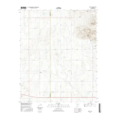
2016 Map of Odetta
USGS Topo · Published 2016About this map
Odetta lies at the junction of several county roads in a landscape defined by the dramatic topography of the Wichita Mountains and the Charons Garden Mountains. The 2016 survey captures a region where the boundary between Kiowa Co and Comanche Co runs north-to-south through a network of small reservoirs and seasonal drainages. High points like Sunset Peak and Bell Mtn overlook a complex terrain of ridges and canyons, including the evocative Styx Canyon and the Broken Hills. The land use appears primarily agricultural and conservation-oriented, with water management evidenced by the Otter Creek Site 5 Reservoir and other numbered catchments. This map provides a detailed view of the transition from the high peaks of the Wichita range down toward the Bad Lands and Antelope Flat, showing the grid of section roads that navigate around these prominent geological features.
Find a feature on this map
48 named features on this map. Tap any name to fly to it.
Don’t see what you’re looking for? This feature index may not catch every label — zoom into the map to look around manually.
Map Details
Editions of this 2016 Odetta Map
This is the sole edition of this map. No revisions or reprints were ever made.
Other maps of this area
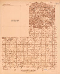
1937 · Cache
USGS Topo · 1:48,000
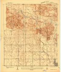
1937 · Quanah Mountain
USGS Topo · 1:24,000
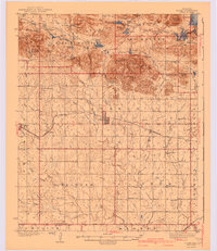
1942 · Cache
USGS Topo · 1:62,500
1949 · Cooperton
USGS Topo · 1:62,500
1949 · Quanah Mountain
USGS Topo · 1:24,000
1950 · Snyder
USGS Topo · 1:62,500
1950 · Saddle Mountain
USGS Topo · 1:62,500

1955 · Lawton
USGS Topo · 1:250,000
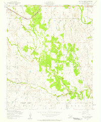
1956 · Post Oak Creek
USGS Topo · 1:24,000
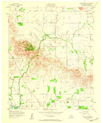
1956 · Glen Mountains
USGS Topo · 1:24,000