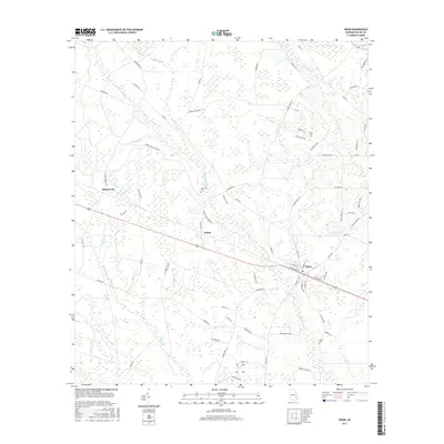
2017 Map of Odum
USGS Topo · Published 2017About this map
The town of Odum serves as the primary hub in this Wayne County landscape, situated along the tracks of the Southern railroad. This area of Georgia is defined by its complex network of slow-moving water, where Little Satilla Cr and Boggy Cr wind through low-lying terrain. The map records the rural settlements of Brentwood to the west and Tetlow toward the center, connected by a dense grid of local routes like Brentwood Rd and Tetlow Rd. For those researching local lineages, the presence of Aspinwall Cem and Joiner Cem provides specific points of interest. The eastern edge features Lake Lanell, surrounded by residential corridors such as Lake Lanell Rd and Druid Hills Rd, contrasting with the more dispersed agricultural and woodland patterns found near Keene Bay Br and Goose Cr in the northern reaches.
Find a feature on this map
72 named features on this map. Tap any name to fly to it.
Don’t see what you’re looking for? This feature index may not catch every label — zoom into the map to look around manually.
Map Details
Editions of this 2017 Odum Map
This is the sole edition of this map. No revisions or reprints were ever made.
Other maps of this area
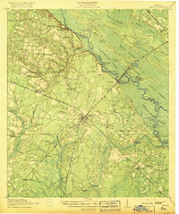
1918 · Jesup
USGS Topo · 1:62,500
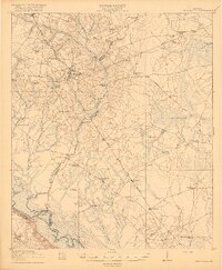
1920 · Glennville
USGS Topo · 1:62,500
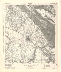
1943 · Jesup
USGS Topo · 1:62,500
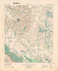
1944 · Glennville
USGS Topo · 1:62,500
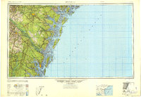
1946 · Brunswick
USGS Topo · 1:250,000
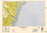
1948 · Brunswick
USGS Topo · 1:250,000
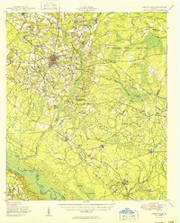
1950 · Glennville
USGS Topo · 1:62,500
1953 · Waycross
USGS Topo · 1:250,000
1956 · Brunswick
USGS Topo · 1:250,000
1958 · Waycross
USGS Topo · 1:250,000