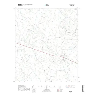
2020 Map of Odum
USGS Topo · Published 2020About this map
Odum serves as the primary hub of this Wayne County landscape, where the local road network and railroad corridor intersect. The terrain is defined by a complex of slow-moving waterways and wetlands, including the meandering Little Satilla Cr and its tributaries like Keene Bay Br and Goose Cr. These natural drainages dictated the early settlement patterns of the area, seen here in the established communities of Brentwood and Tetlow.
Find a feature on this map
77 named features on this map. Tap any name to fly to it.
Don’t see what you’re looking for? This feature index may not catch every label — zoom into the map to look around manually.
Map Details
Editions of this 2020 Odum Map
This is the sole edition of this map. No revisions or reprints were ever made.
Other maps of this area

1918 · Jesup
USGS Topo · 1:62,500

1920 · Glennville
USGS Topo · 1:62,500

1943 · Jesup
USGS Topo · 1:62,500

1944 · Glennville
USGS Topo · 1:62,500

1946 · Brunswick
USGS Topo · 1:250,000

1948 · Brunswick
USGS Topo · 1:250,000

1950 · Glennville
USGS Topo · 1:62,500

1953 · Waycross
USGS Topo · 1:250,000

1956 · Brunswick
USGS Topo · 1:250,000

1958 · Waycross
USGS Topo · 1:250,000