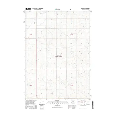
2015 Map of Oelrichs SW
USGS Topo · Published 2015About this map
Buffalo Gap National Grassland dominates this portion of the Nebraska and South Dakota borderlands, where the High Plains transition into a network of seasonal watercourses. The landscape is defined by the drainage basins of Horsehead Cr and its tributaries, including Beef Cr, which carve through the open range. This 2015 survey illustrates a sparsely populated region primarily utilized for ranching and aviation, centered around the Bogner Number II Airport. The map traces the essential transportation corridors of the era, such as Co Hwy 5 and Horsehead Rd, which provide access through the vast public lands. Fine topographic detail reveals the subtle relief of the terrain near Slim Butte Cr and the S Fork Blacktail Creek, showing how water has historically shaped the agricultural and grazing patterns of Dawes County.
Find a feature on this map
13 named features on this map. Tap any name to fly to it.
Don’t see what you’re looking for? This feature index may not catch every label — zoom into the map to look around manually.
Map Details
Editions of this 2015 Oelrichs SW Map
This is the sole edition of this map. No revisions or reprints were ever made.
Other maps of this area
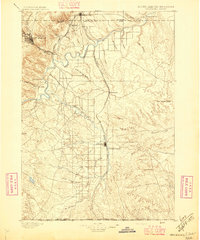
1896 · Oelrichs
USGS Topo · 1:125,000
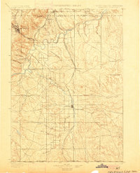
1900 · Oelrichs
USGS Topo · 1:125,000

1955 · Hot Springs
USGS Topo · 1:250,000

1955 · Alliance
USGS Topo · 1:250,000

1957 · Alliance
USGS Topo · 1:250,000

1958 · Alliance
USGS Topo · 1:250,000
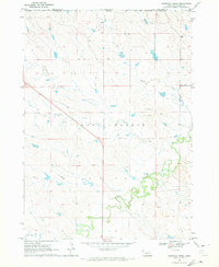
1970 · Bohemian Creek
USGS Topo · 1:24,000
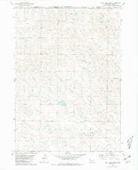
1980 · Lone Tree Ranch
USGS Topo · 1:24,000
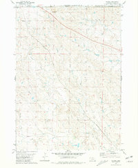
1980 · Wayside
USGS Topo · 1:24,000
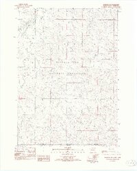
1982 · Oelrichs SW
USGS Topo · 1:25,000