
2015 Map of Oelwein SE
USGS Topo · Published 2015About this map
W Br Buffalo Cr and E Br Buffalo Cr converge to form the main channel of Buffalo Cr in this section of rural Buchanan County. The landscape is defined by its rectilinear grid of agricultural roads, such as Co RD c64 and Co RD w33, which partition the rolling topography into traditional township sections. The watershed of Pine Cr and its tributaries, including W Br Pine Cr and E Br Pine Cr, drains the southern half of the quadrangle. For genealogists, the Spangler Cem remains a localized landmark north of 150th St. The map reflects a highly organized Midwestern farming landscape where small drainage features like Malone Cr and Harter Cr dictate the subtle shifts in the otherwise orderly section lines.
Find a feature on this map
45 named features on this map. Tap any name to fly to it.
Don’t see what you’re looking for? This feature index may not catch every label — zoom into the map to look around manually.
Map Details
Editions of this 2015 Oelwein SE Map
This is the sole edition of this map. No revisions or reprints were ever made.
Other maps of this area
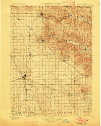
1901 · Oelwein
USGS Topo · 1:125,000
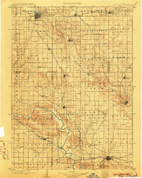
1903 · Winthrop
USGS Topo · 1:125,000
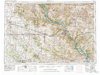
1959 · Dubuque
USGS Topo · 1:250,000
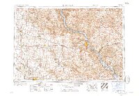
1961 · Dubuque
USGS Topo · 1:250,000
1962 · Dubuque
USGS Topo · 1:250,000
1965 · Arlington
USGS Topo · 1:24,000
1965 · Lamont
USGS Topo · 1:24,000
1973 · Independence
USGS Topo · 1:24,000
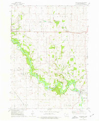
1973 · Quasqueton
USGS Topo · 1:24,000
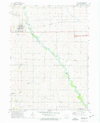
1973 · Winthrop
USGS Topo · 1:24,000