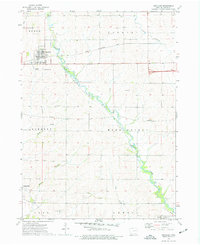
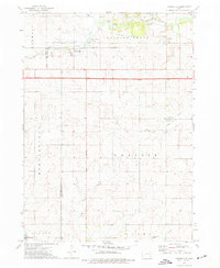
1973 Map of Winthrop
USGS Topo · Published 1977About this map
The town of Winthrop serves as the primary hub in this eastern Buchanan County landscape, where the Illinois Central Gulf railroad bisects the grid of local section lines. This rural Midwestern terrain is defined by its agricultural layout and the winding course of Buffalo Creek, which flows southeastward through the center of the sheet and past Buffalo County Park. To the south, the settlement of Quasqueton sits near the banks of Smith Creek, while the small community of Monti is situated in the southeastern corner.
Find a feature on this map
24 named features on this map. Tap any name to fly to it.
Don’t see what you’re looking for? This feature index may not catch every label — zoom into the map to look around manually.
Map Details
Editions of this 1973 Winthrop Map
2 editions found
Other maps of this area

1901 · Oelwein
USGS Topo · 1:125,000

1903 · Winthrop
USGS Topo · 1:125,000

1959 · Dubuque
USGS Topo · 1:250,000

1961 · Dubuque
USGS Topo · 1:250,000

1962 · Dubuque
USGS Topo · 1:250,000

1965 · Lamont
USGS Topo · 1:24,000

1965 · Dundee
USGS Topo · 1:24,000
1973 · Troy Mills
USGS Topo · 1:24,000
1973 · Quasqueton
USGS Topo · 1:24,000
1973 · Masonville
USGS Topo · 1:24,000