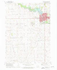
1973 Map of Independence
USGS Topo · Published 1977About this map
The Wapsipinicon River defines the urban and natural landscape of this Buchanan County region, flowing through the heart of Independence and creating the Independence Impoundment. During the mid-1970s, the city served as a significant rail junction where the Illinois Central Gulf and Chicago Rock Island and Pacific railroads crossed. The map documents an extensive institutional presence south of the city center, notably the large State Hospital complex and its associated State Hospital Cem.
Find a feature on this map
41 named features on this map. Tap any name to fly to it.
Don’t see what you’re looking for? This feature index may not catch every label — zoom into the map to look around manually.
Map Details
Editions of this 1973 Independence Map
2 editions found
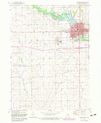
Other maps of this area

1901 · Oelwein
USGS Topo · 1:125,000

1903 · Winthrop
USGS Topo · 1:125,000

1954 · Waterloo
USGS Topo · 1:250,000

1955 · Waterloo
USGS Topo · 1:250,000

1959 · Dubuque
USGS Topo · 1:250,000

1961 · Dubuque
USGS Topo · 1:250,000

1962 · Dubuque
USGS Topo · 1:250,000
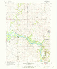
1971 · Brandon
USGS Topo · 1:24,000

1971 · Littleton
USGS Topo · 1:24,000
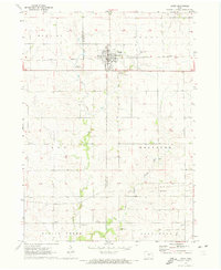
1971 · Jesup
USGS Topo · 1:24,000