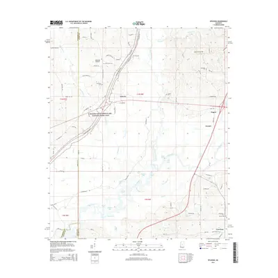
2015 Map of Ofahoma
USGS Topo · Published 2015About this map
The Yockanookany River and Pearl River converge in a complex wetland landscape of oxbows and sloughs in this 2015 survey of central Mississippi. Small agricultural settlements like Forest Grove and Ofahoma are connected by a network of rural routes, including the prominent corridor of the Natchez Trace Pkwy which cuts diagonally across the western sections. The terrain transitions from the low-lying basin of Gravel Slough and Alligator Lake to the more prominent Government Hills in the northeast.
Find a feature on this map
89 named features on this map. Tap any name to fly to it.
Don’t see what you’re looking for? This feature index may not catch every label — zoom into the map to look around manually.
Map Details
Editions of this 2015 Ofahoma Map
This is the sole edition of this map. No revisions or reprints were ever made.
Other maps of this area

1953 · Meridian
USGS Topo · 1:250,000

1957 · Meridian
USGS Topo · 1:250,000

1960 · Sharon
USGS Topo · 1:62,500

1961 · Carthage
USGS Topo · 1:62,500

1962 · Thomastown
USGS Topo · 1:62,500

1964 · Camden
USGS Topo · 1:24,000

1965 · Meridian
USGS Topo · 1:250,000
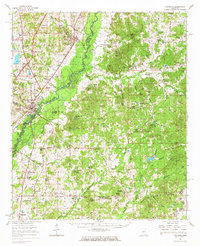
1966 · Goodman
USGS Topo · 1:62,500

1984 · Carthage
USGS Topo · 1:100,000
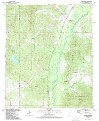
1988 · Thomastown
USGS Topo · 1:24,000