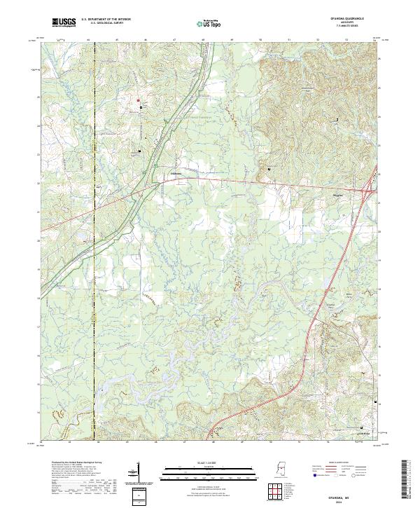
2024 Map of Ofahoma
USGS Topo · Published 2024About this map
The Yockanookany River and Pearl River converge in this central Mississippi landscape, creating a complex network of wetlands and oxbow features. Historical river crossings are well-documented here, with Bilbos Ferry and Grigsbys Ferry marking traditional transit points along the water. The modern Natchez Trace Parkway cuts diagonally through the terrain, shadowing the ancient travel corridor that has defined this region for centuries.
Find a feature on this map
83 named features on this map. Tap any name to fly to it.
Don’t see what you’re looking for? This feature index may not catch every label — zoom into the map to look around manually.
Map Details
Editions of this 2024 Ofahoma Map
This is the sole edition of this map. No revisions or reprints were ever made.
Other maps of this area

1953 · Meridian
USGS Topo · 1:250,000

1957 · Meridian
USGS Topo · 1:250,000

1960 · Sharon
USGS Topo · 1:62,500

1961 · Carthage
USGS Topo · 1:62,500

1962 · Thomastown
USGS Topo · 1:62,500

1964 · Camden
USGS Topo · 1:24,000

1965 · Meridian
USGS Topo · 1:250,000
1966 · Goodman
USGS Topo · 1:62,500

1984 · Carthage
USGS Topo · 1:100,000
1988 · Thomastown
USGS Topo · 1:24,000