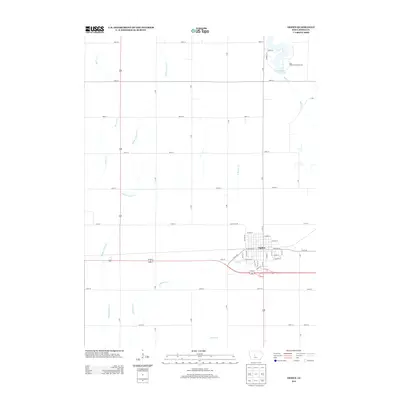
2013 Map of Ogden
USGS Topo · Published 2013About this map
The town of Ogden serves as the central hub of this Boone County landscape, situated at the intersection of significant local thoroughfares and rail corridors. The layout of the town is clearly defined by its street grid, featuring names like W Walnut St and E Division St, which reflect the organized expansion of this agricultural community. North of the primary settlement, the terrain is shaped by the winding paths of Beaver Cr and Middle Beaver Cr, showcasing the intricate drainage patterns that define the Iowa prairie.
Find a feature on this map
49 named features on this map. Tap any name to fly to it.
Don’t see what you’re looking for? This feature index may not catch every label — zoom into the map to look around manually.
Map Details
Editions of this 2013 Ogden Map
This is the sole edition of this map. No revisions or reprints were ever made.
Other maps of this area

1911 · Madrid
USGS Topo · 1:62,500

1914 · Madrid
USGS Topo · 1:62,500

1916 · Boone
USGS Topo · 1:62,500

1950 · Perry
USGS Topo · 1:62,500

1951 · Perry
USGS Topo · 1:62,500

1951 · Ogden
USGS Topo · 1:62,500

1954 · Omaha
USGS Topo · 1:250,000

1954 · Waterloo
USGS Topo · 1:250,000

1954 · Fort Dodge
USGS Topo · 1:250,000

1954 · Des Moines
USGS Topo · 1:250,000