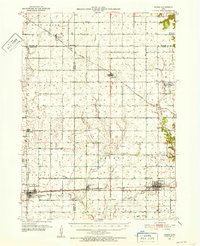
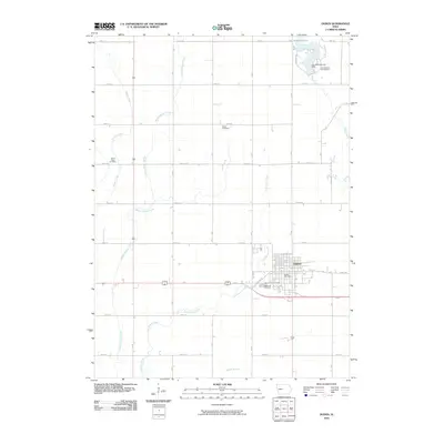
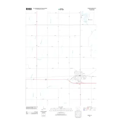
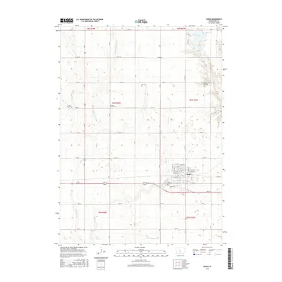
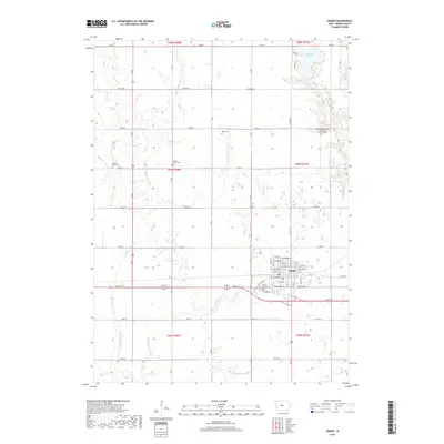
1951 Map of Ogden
USGS Topo · Published 1952About this map
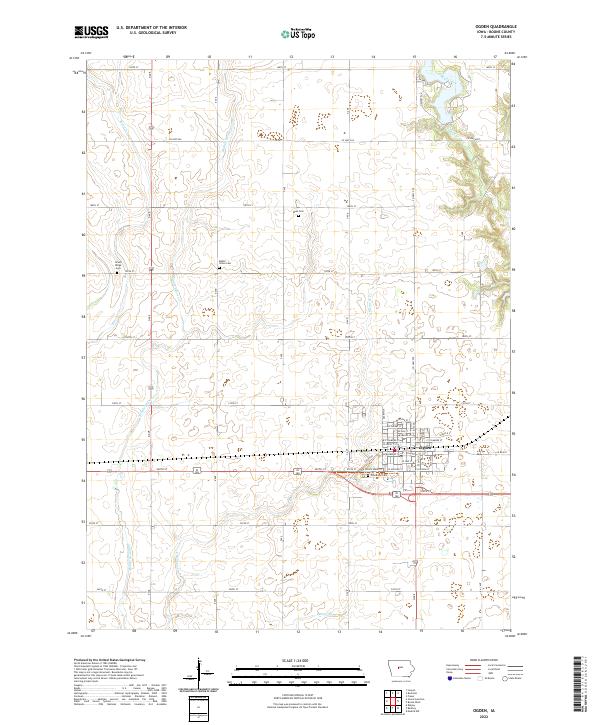
The rail-driven landscape of central Iowa is defined here by a dense grid of agricultural townships and intersecting rail lines during the early 1950s. Grand Junction serves as a major junction point for the Chicago and North Western and Minneapolis and St Louis railroads, while the Fort Dodge Des Moines and Southern electric line threads through Boxholm and Wolf. This era of Iowa's geography is characterized by the high density of local infrastructure, where rural communities were supported by institutions like the Amaqua Center School and Kelly School, alongside numerous cemeteries such as Lawn Cemetery and Union Cemetery. Evidence of local industry is visible in the mine dumps scattered near the Middle Beaver Creek drainage, pointing to the region's historical coal mining activity alongside its primary agricultural focus.
Find a feature on this map
49 named features on this map. Tap any name to fly to it.
Don’t see what you’re looking for? This feature index may not catch every label — zoom into the map to look around manually.
Map Details
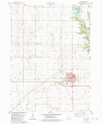
Editions of this 1951 Ogden Map
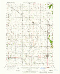
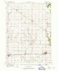
Historical Maps of Ogden Through Time
7 maps found
Featured Locations
- Ogden, IA
- Grand Junction, Junction Township
- Pilot Mound, Pilot Mound Township
- Paton, Paton Township
- Boxholm, Grant Township