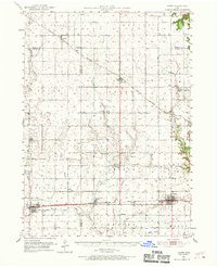
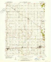
1951 Map of Ogden
USGS Topo · Published 1970About this map
Ogden and Grand Junction anchor this 1951 survey, illustrating the agricultural and industrial character of central Iowa across portions of Boone, Greene, and Webster Counties. The landscape is defined by the winding course of the Des Moines River and a dense network of water bodies, including Beaver Creek and Hardin Creek. Local history is preserved in the placement of numerous rural institutions such as the Amaqua Center School and St Johns Ch.
Find a feature on this map
46 named features on this map. Tap any name to fly to it.
Don’t see what you’re looking for? This feature index may not catch every label — zoom into the map to look around manually.
Map Details
Editions of this 1951 Ogden Map
Other maps of this area

1911 · Madrid
USGS Topo · 1:62,500

1914 · Madrid
USGS Topo · 1:62,500

1916 · Boone
USGS Topo · 1:62,500

1923 · Lehigh
USGS Topo · 1:62,500

1950 · Perry
USGS Topo · 1:62,500

1951 · Perry
USGS Topo · 1:62,500

1951 · Ogden
USGS Topo · 1:62,500

1954 · Bagley
USGS Topo · 1:62,500

1954 · Omaha
USGS Topo · 1:250,000

1954 · Waterloo
USGS Topo · 1:250,000